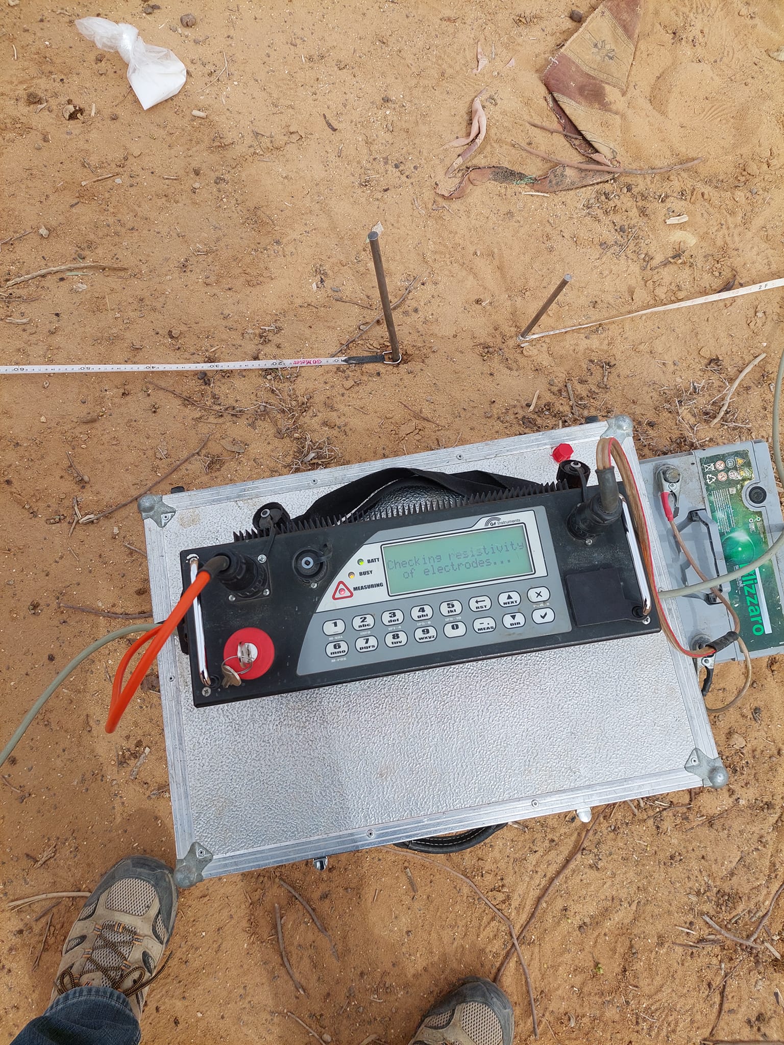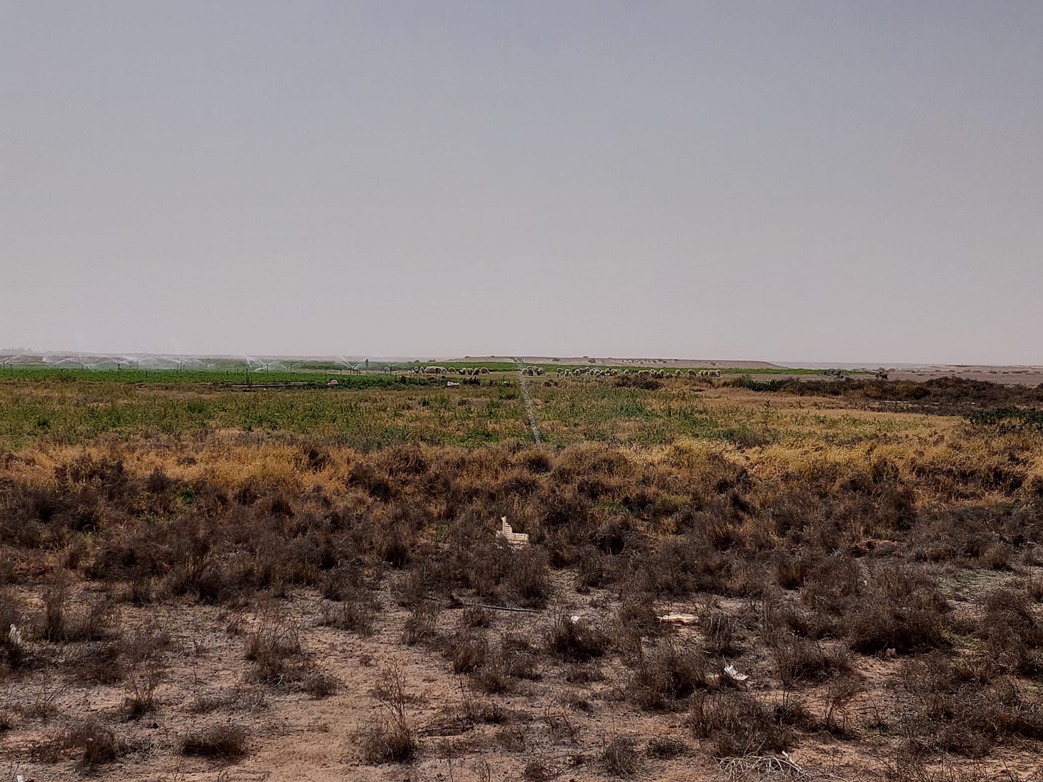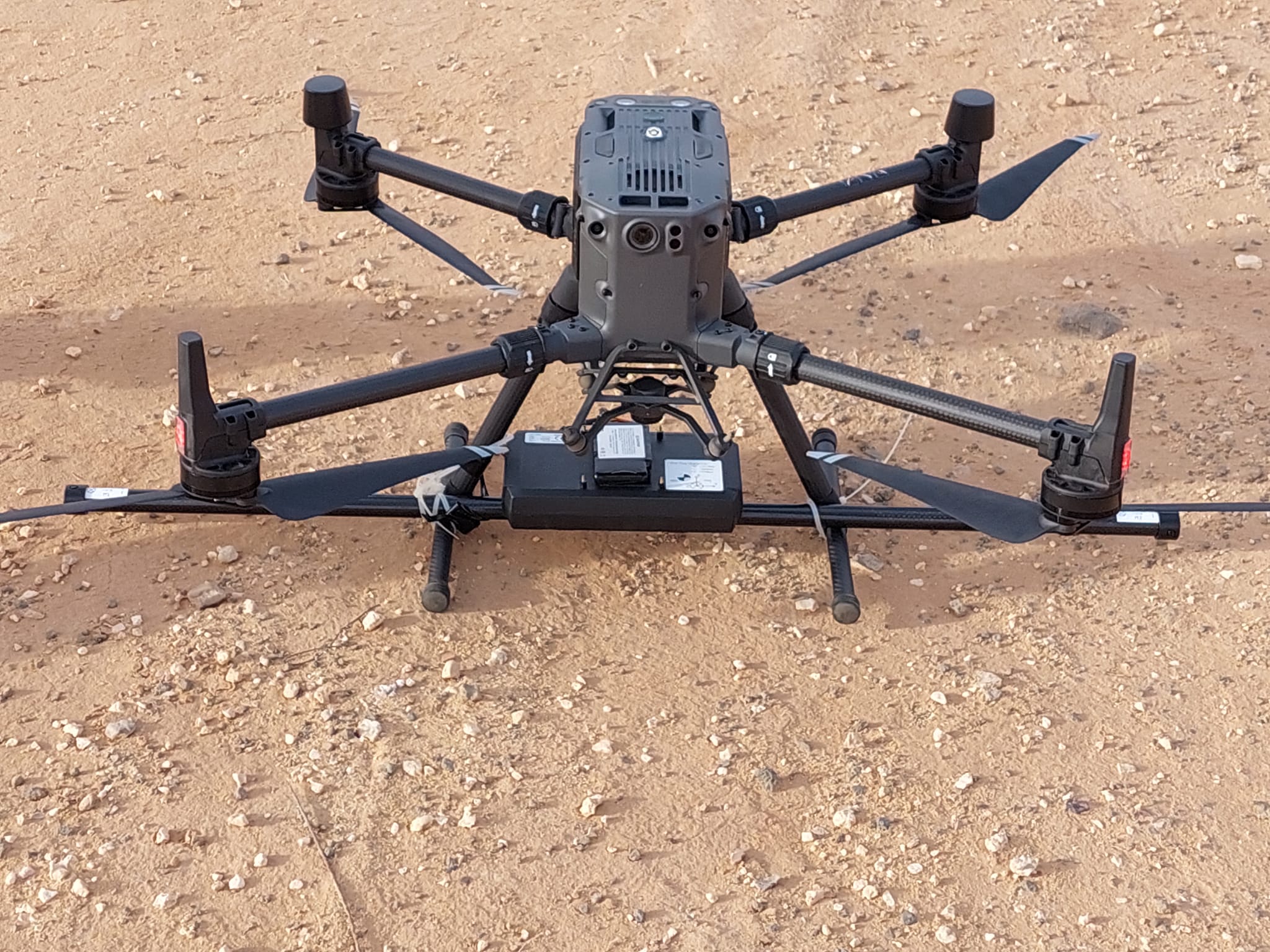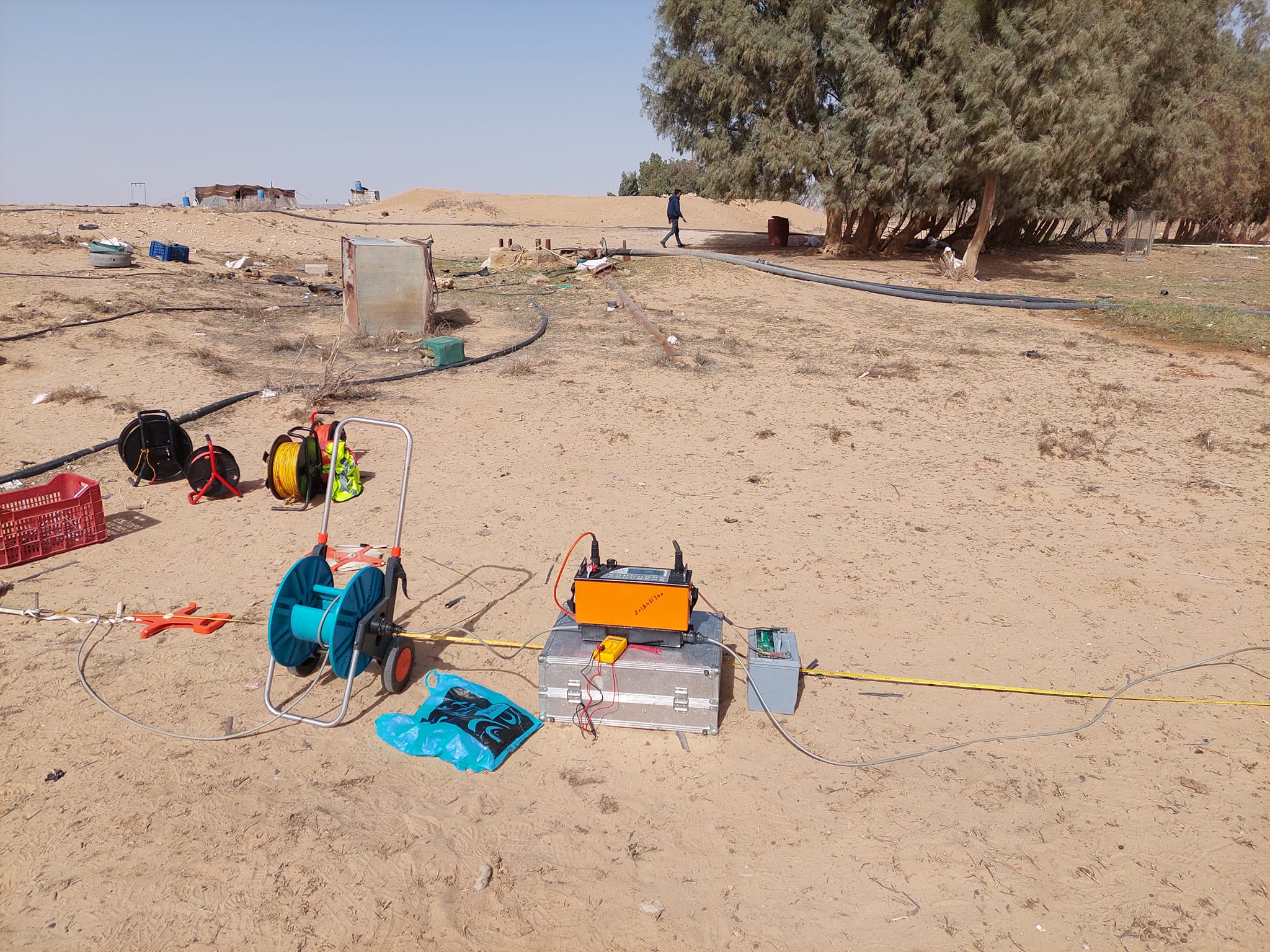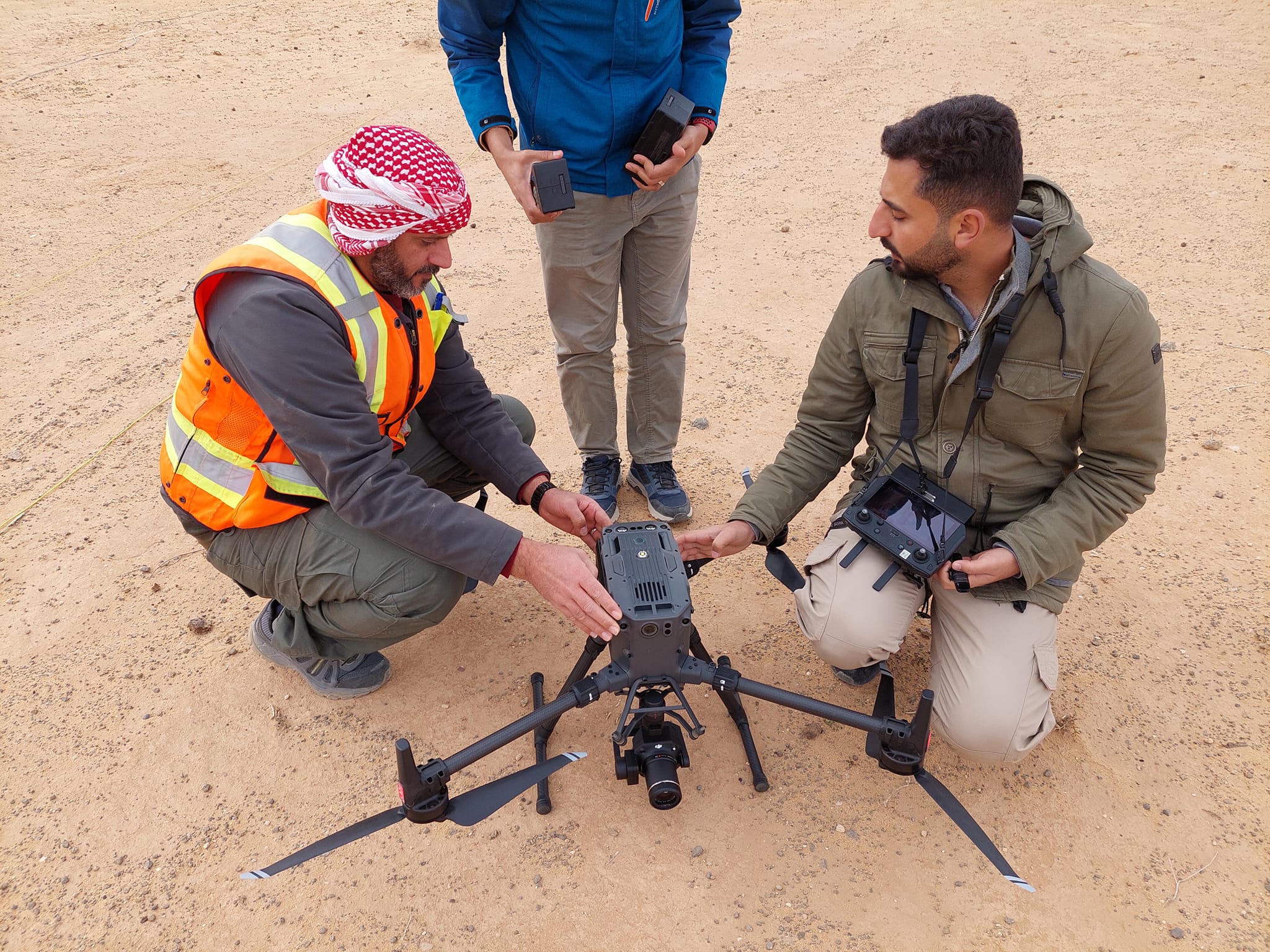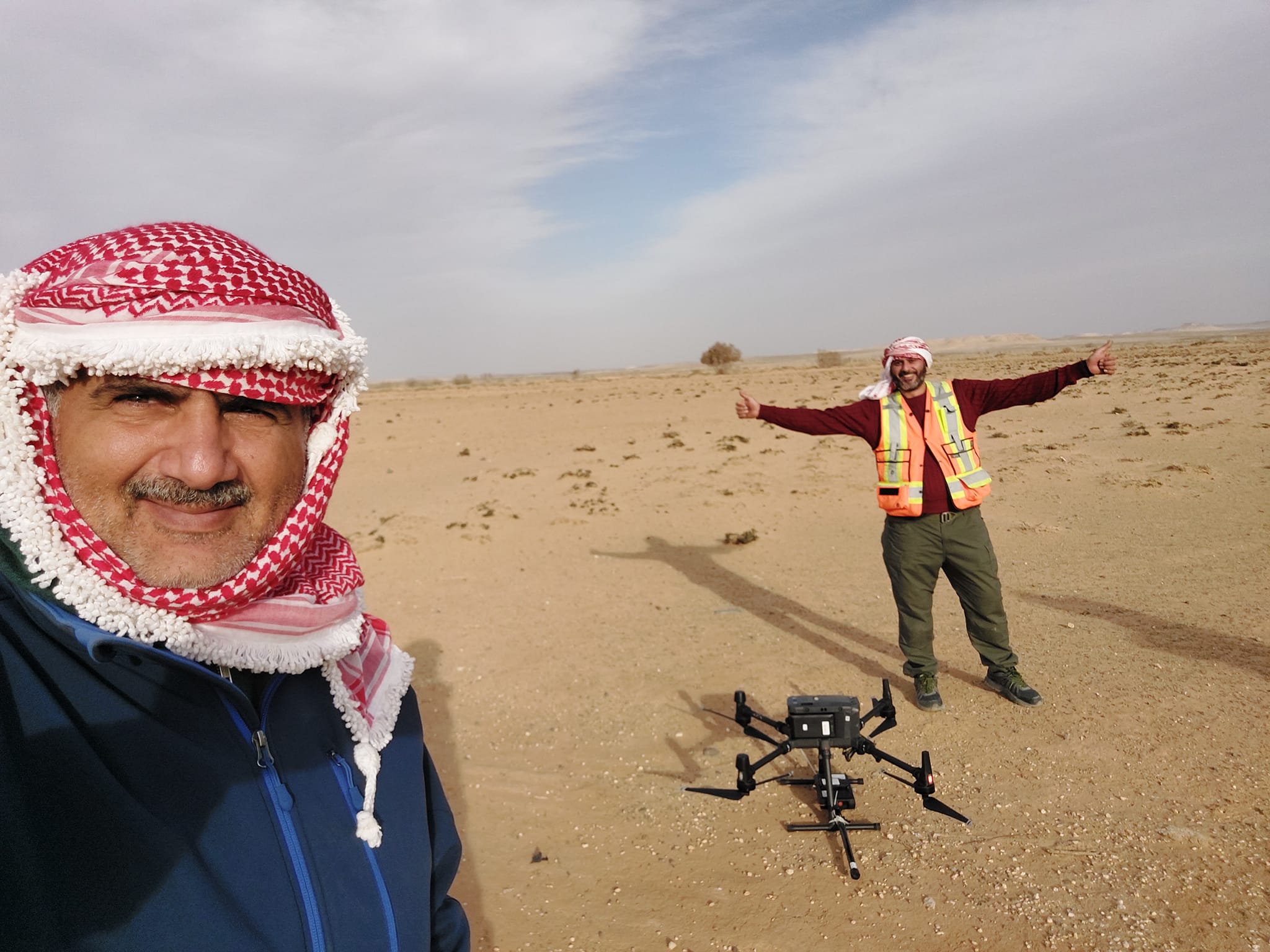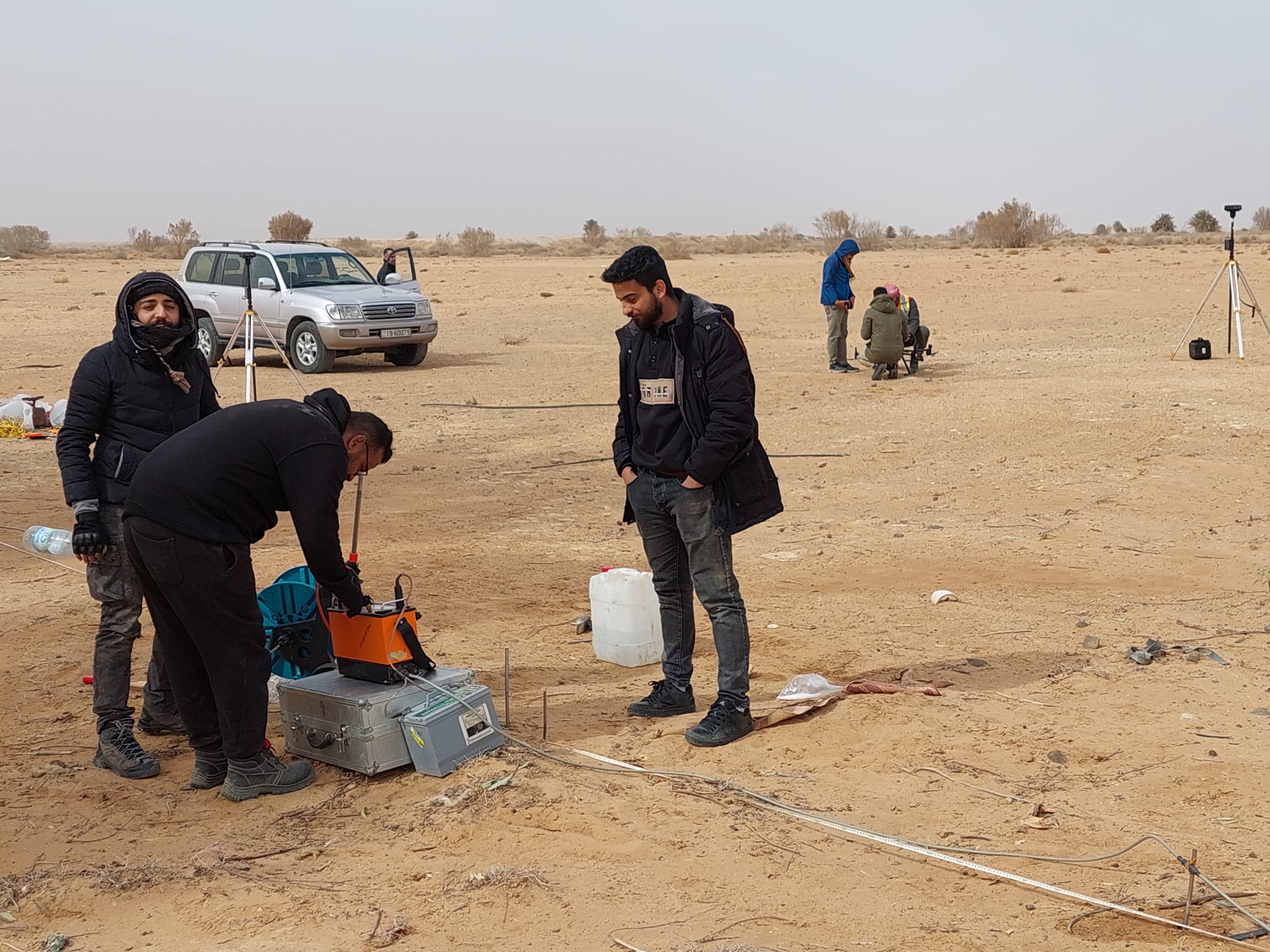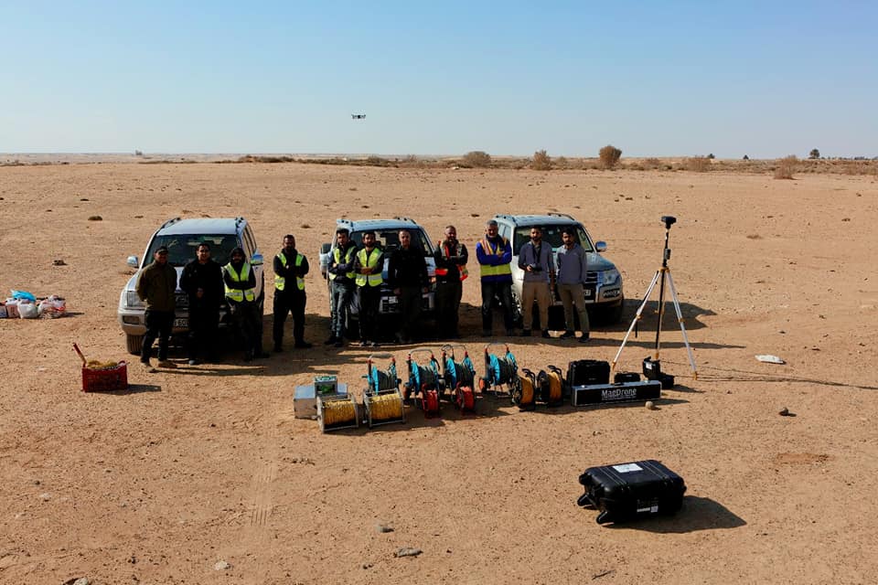
نفذ فريق من قسم علوم الأرض والبيئة في جامعة اليرموك اعمال المسح الجيوفيزيائي الأرضي والتصوير الجوي والرفع المساحي باستخدام الطائرة المسيرة (UAV) لمناطق مختارة من البادية الوسطى خلال الفترة من 10-13/ 2023/2، لتحديد أعماق المياه الجوفية في المناطق المدروسة دعما لدراسات الديوان الملكي العامر لإحداث مشاريع تنموية في مناطق البادية الاردنية.
وتألف فريق العمل من الدكتور رشيد عبدالكريم جرادات والدكتور عبدالله مصطفى الروابدة وطلاب الدراسات العليا في القسم: عمر صلاح النجار، اسامه محمد الطراونة، عبدالرحمن ساطع الصالح ، البشر ماجد عبابنة. ورافق الفريق المهندس سامر جهاد جرادات والمهندس صهيب ايمن بني عميرة دعما لعمليات التصوير الجوي.
جزيل الشكر والتقدير لوزارة الطاقة والثروة المعدنية ممثلة بالزميل الجيولوجي بهجت العدوان لتسهيل المبيت في حقل حمزة.
وكذلك الشكر موصول لجميع الزملاء العاملين في الحقل للاستضافة وتسهيل المهمة.
The Department of Earth and Environmental Sciences at Yarmouk University carried out ground geophysical surveys, aerial photography and cadastral surveys using drone system (UAV) for selected areas of the central Badia during the period from 10-13/2/2023.
To determine the depths of groundwater in the studied areas in support of the studies of the Royal Court in order to bring about development projects in the Jordanian Badia regions.
The work team consisted of Dr. Rasheed Jaradat, Dr. Abdullah Al Rawabdeh, Anda number of postgraduate students in the department: Omar Salah Al-Najjar, Osama Mohammed Al-Tarawneh, Abd al-Rahman Sati` al-Saleh, al-Bishr Majid Ababneh. The team was accompanied by Engineer Samer Jihad Jaradat and Engineer Suhaib Ayman Bani Amira, in support of the aerial photography operations.
Many thanks and appreciation to the Ministry of Energy and Mineral Resources, represented by geologist Bahjat Al-Adwan, for facilitating the overnight stay at Hamza field camp.
Thanks are also extended to all colleagues working in the field for hosting and facilitating the task.

